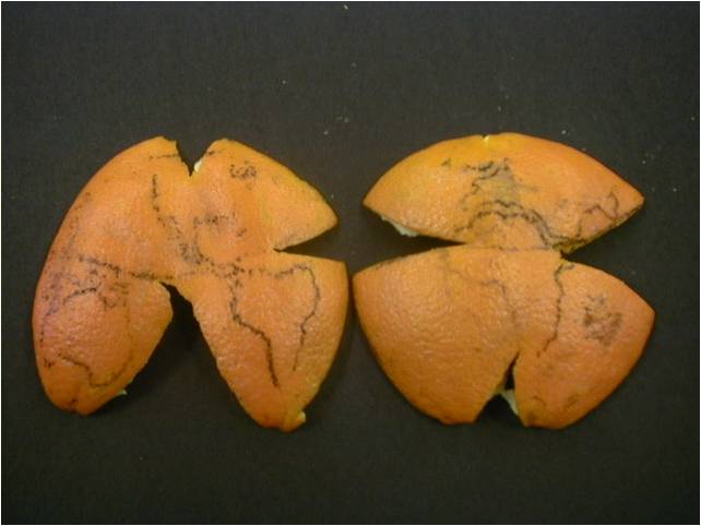
Introduction to Raster Data
Figure 1
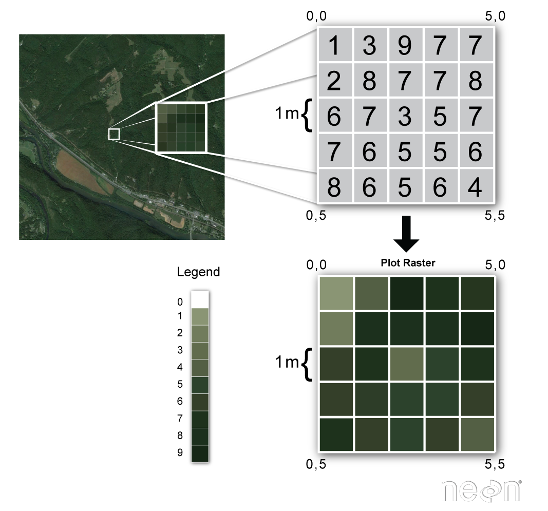
Figure 2
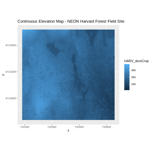
Figure 3
Figure 4
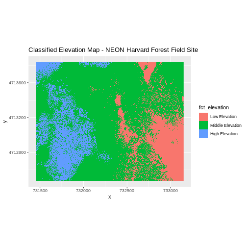
Figure 5
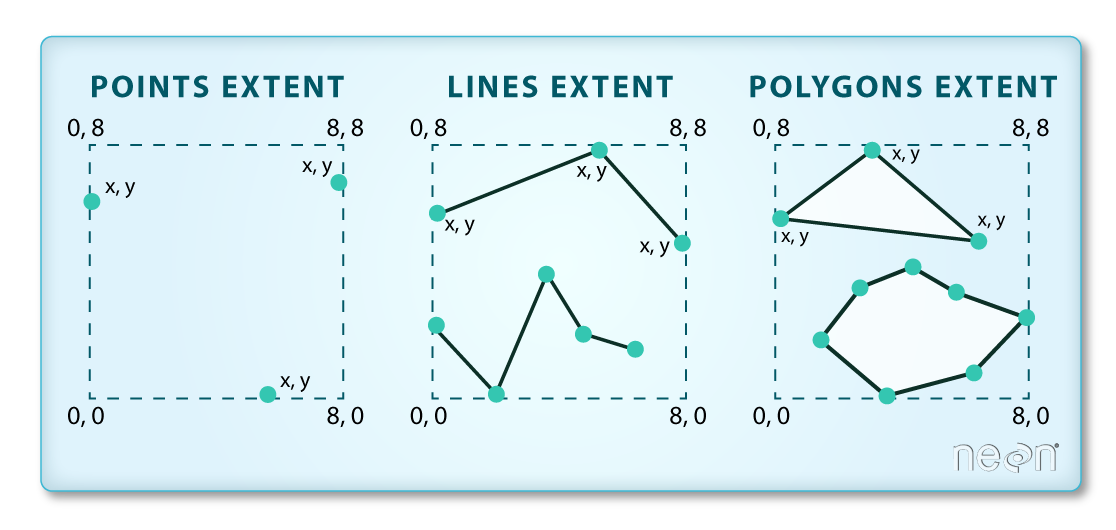
Figure 6
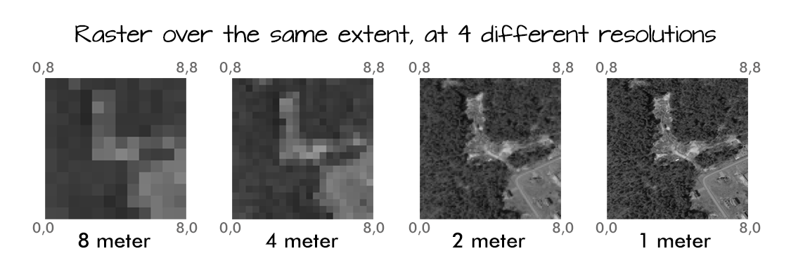
Figure 7
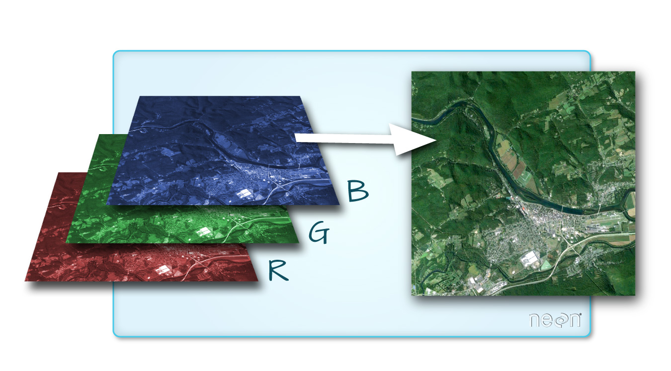
Figure 8
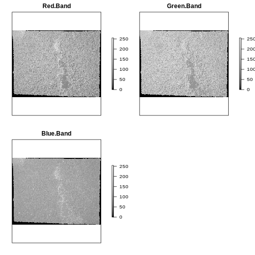
Figure 9
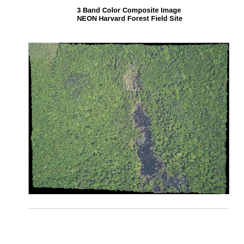
Introduction to Vector Data
Figure 1
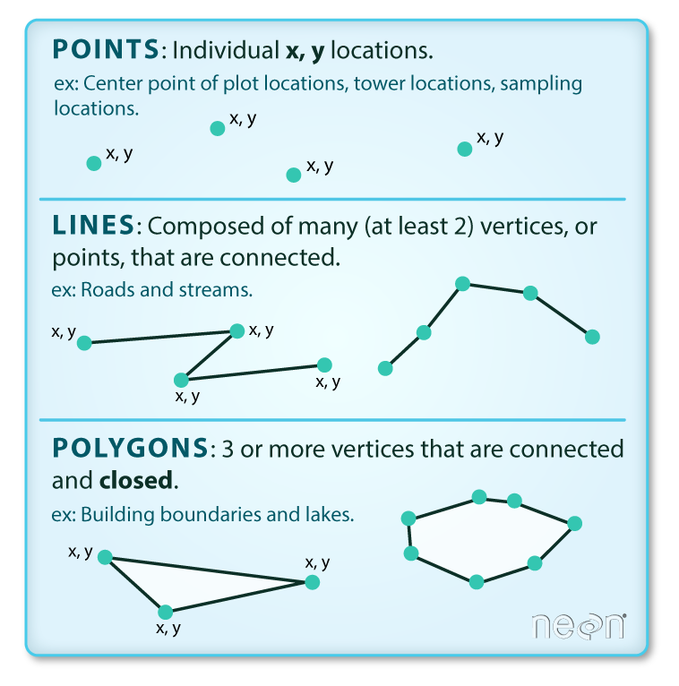
Figure 2
 In the image above, the dashed boxes
around each set of objects seems to imply that the three objects have
the same extent. Is this accurate? If not, which object(s) have a
different extent?
Coordinate Reference Systems
Figure 1

Figure 2

Figure 3
